- Drive back over the Continental Divide to the Yukon Territory
- Climb a hill three times to enjoy the panorama from above
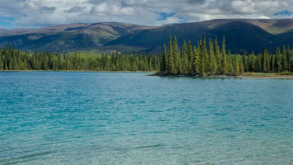
Already at 8 o'clock I am fed on the way back south over the Wright Pass. Yes, I will definitely not drive all the way to Inuvik, I will stay in the Richardson Mountains for the day. The Dempster Highway then leads down to the Peel River and on through densely forested plains to the Mackenzie River with its enormous delta. This drains about a fifth of Canada, making it the largest river in the country, the third largest river in the western hemisphere and at the same time the tenth largest river in the world. As I have been told several times, the following route should be moderately attractive. And just going to Inuvik so that I can chop it off as done, definitely doesn't have to be. I would rather spend a leisurely day in this primeval landscape and soak up the scenery.
The pass also forms the border between the Canadian territories Yukon and Northwestern and the Continental Divide between the mighty rivers Yukon (flows into the Bering Strait) and Mackenzie (drains into the Beaufort Sea). The Richardson Mountain are also considered to be the northernmost foothills of the Rocky Mountains. During the last Ice Age, this mountain range was the end point of the gigantic ice sheet east of it. It was simply too dry here for glaciers to form. Like yesterday, the east side is heavily overcast. On the other side of the pass, the weather is slightly friendlier. I climb two hills to enjoy the panorama from above. But much more pleasant without yesterday's bise. I still don't see any of the hoped-for animals, but the landscape is able to compensate for this.
After a lunch stop, I do a third, somewhat longer cross-country hike to another mountain. The 360 ° panorama from above is well worth the effort. Except for the Dempster Highway, which runs like a line through the landscape below, nothing, absolutely nothing man-made, is to be seen. Orange bushes, yellow deciduous trees, purple-colored bushes, bright red mosses, white lichens, green firs, the tundra has developed its full color palette. I often sink deep into the moss when I stand up. Only the top layer of the soil thaws in the summer months. Underneath is permafrost soil. That is why the Dempster Highway is usually built on a thick, insulating layer of gravel.
I'm going back to the Northwestern Territories across the Divide. There I cook my dinner by a stream. Since it will be light for a long time, I drive over the pass again, unfortunately there are no animal sightings this time as well. So I find a wonderful place with a great view and park my car for the coming night.